Geophysical Survey
Services provided:
• Verification of cables and pipes
• Above- and underground inventories
• Object detection
• BIM (Building Information Model)
• Thermography
• Archaeology
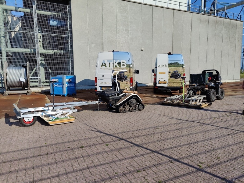
The geophysical survey team offers a diverse range of services. ATKB owns multiple ground-couped 3D radar systems, which take ground radar research to a whole new level. You can contact ATKB for cable and pipe detection, pavement investigations, sludge thickness and volume determinations, and more.

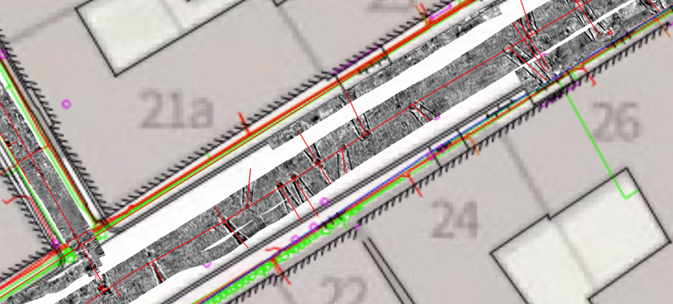
In this image you can see the scan of the 3D ground radar (gray). The red lines represent the cables and pipes detected.
ATKB is a consultancy with a comprehensive knowledge of soil, water, ecology and asbestos, and therefore the ideal partner for carrying out integrated investigations and providing recommendations. Integrated and multidisciplinary environmental policy, for example in the context of climate adaptation, requires extensive research techniques. With ground radar, an extensive 3D subsurface map/model can be obtained quickly and efficiently, without the need of destructive excavation or soil coring.

Valuable information directly in view
Ground radar research is also a very useful for hot topic applications such as the prevention of excavation damage (WIBON), or when drawing up Building Information Models (BIM).


